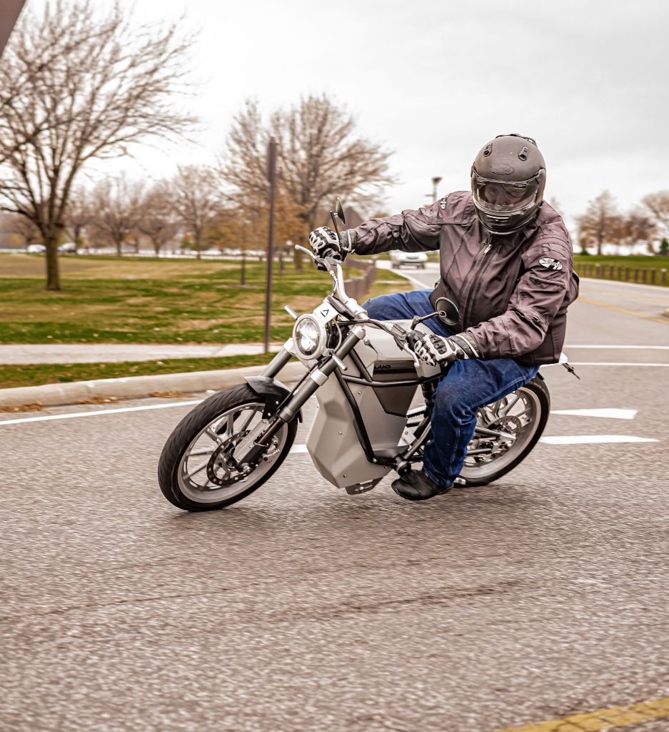
While getting lost and exploring are often cited as some of the more fun things motorcycle touring riders do, you do not want to get too lost. There are several options available, some more technically complex than others. However, no matter which navigation solution you choose, I highly recommend purchasing a good atlas every five years or so. Phone and GPS systems have batteries that die, and some phones may not have true GPS receivers built into them. Those phones use the surveyed location of cell phone towers to triangulate location. This becomes a problem when there are two or fewer cell towers within your phone’s range. An atlas, on the other hand, needs no batteries or cell towers. It just a set of hands and eyeballs, and a landmark of some sort to function.
For some riders (like the author), GPS navigation on a motorcycle takes something away from the touring experience. GPS solutions, which l discuss below, can become pricey as well as easily vulnerable to the elements. When I first started touring, electronic navigation solutions were extremely expensive, and smartphones were in their infancy. Since I used Interstate highways for most of my trips, I would memorize the exit numbers that I needed to get off at for stops. I obtain the exit numbers by using Google Maps during my trip planning (which will be discussed in Point #10). If a trip takes me off of Interstate highways I look for landmarks along the way, like businesses or prominent intersections, to keep myself on route. I also attempt to stick to numbered highways (e.g. US 15, OH 7) as much as I can. The signage for numbered routes is usually very good, so it is easy to keep track of both where you are and where you need to turn or stop.
For riders who prefer an electronic navigation solution, several options are available. The first option is using a smartphone. Some of the advantages of using your existing smartphone are cost and updated maps. If you have already purchased a smartphone it most likely comes with a mapping application pre-installed. Additionally, other mapping applications are available for free or for a fee in either the Apple App Store or Google Play store. Additionally, smartphone mapping applications usually download mapping data on an as-needed basis. While mapping apps can eat up a fair bit of mobile data, they also ensure that riders have up-to-date map data. Another advantage can be your smartphone’s Bluetooth connectivity. If you own a Sena or other Bluetooth hands-free device for your helmet, those devices can be used to listen to a smartphone’s spoken directions.
However, relying on a smartphone mapping application can have several downsides. First, if your mapping application relies on downloading data as needed, it is useless if a rider is in a remote or mountainous area that does not have data coverage. Some smartphone mapping apps do allow users to pre-download map data. However, those data files can be very large and take up a large portion of your phone’s available storage. Second, having your phone mounted to your motorcycle (more on that below) can be a problem in the event of a crash. A smartphone is more likely to be damaged or destroyed when it is mounted to the motorcycle rather than kept inside a pocket in your jacket or pants. There is also the risk that the rider could be physically separated from their motorcycle (and hence their phone) during a crash, and be too physically injured to move closer to their motorcycle to call for help. Smartphones mounted to the motorcycle are also inherently exposed to the elements. Weatherproof and weather-resistant cases are available for many smartphone models. However, those cases can be expensive and bulky.
Another electronic navigation option is using an inexpensive car GPS unit. These units feature pre-downloaded maps and allow riders to keep their phone on their person. Some of the more fully-featured car GPS units have Bluetooth connectivity to link with a motorcycle hands-free device. While most car GPS units are not weatherproof, cases are available for some GPS models that keep the units relatively well-protected from the elements. One of the downsides of using one of these units is their construction. The units were originally designed for use in a climate controlled automotive environment and are more susceptible to damage from vibration, moisture, and the like. Car GPS units also will not auto-update and need to be manually connected to the internet in order to receive map updates.
The highest quality but most expensive electronic navigation solution is a motorcycle-specific GPS. These units are designed to be hard-wired into your motorcycle’s electrical system, are weatherproof, and often include motorcycle-specific features. These units are usually very expensive however. At the time of this writing, the least expensive motorcycle-only GPS units on Amazon.com are $359.95 (TomTom RIDER model) and $399.99 (Garmin Zumo 395LM). If you become a serious touring rider, units like those may be worth the money. However, if you are just starting out in touring, it is probably not worth dropping that kind of money on a GPS unit. You could do a couple long weekends in familiar settings for the price of one of those units. These units also share the same downside as their automotive counterparts, in that they do not auto-update their maps.
Whatever type of electronic navigation device you may choose, there is still the issue of mounting the unit to the motorcycle. There is a plethora of mounting options available for both smartphones and GPS units. Many mounting solutions attach to either the electrical pods, steering stem nut, or handlebars. Many mounting methods utilize RAM-style mounts. These ball-in-socket mounts allow the navigation unit to be rotated to many different angles. Consult resources like Twisted Throttle (http://www.twistedthrottle.com) to find which solutions are available for your motorcycle.


Leave a comment